Mapping Precision: The Integral Role of Survey Pegs in GIS Mapping
In the rapidly evolving field of Geographic Information Systems (GIS) mapping, accuracy is paramount. For industries ranging from urban planning to environmental management, the precision of data is directly tied to the quality of tools used, and survey pegs play a pivotal role. As the leading manufacturer in Wondai, Qld Survey Pegs understands the critical synergy between survey pegs and GIS mapping. Let’s delve into how these seemingly simple tools become indispensable assets in the world of spatial data.
Establishing Ground Control Points (GCPs)
GIS mapping relies on the establishment of Ground Control Points (GCPs) to anchor spatial data in the real world. Survey pegs, precisely placed and accurately measured, serve as ideal GCPs. Their stability and visibility make them reliable reference points for GIS systems, contributing to the overall accuracy of mapping data.
Enhancing Spatial Accuracy
High-quality survey pegs from Qld Survey Pegs ensure not only precise positioning but also the stability required for maintaining spatial accuracy over time. In GIS mapping, where the reliability of data is paramount, the use of quality survey pegs becomes an investment in the integrity of your spatial information.
Integration with GPS Technology
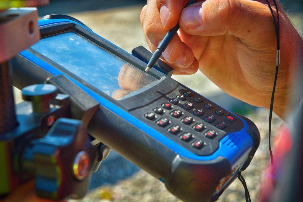
In the era of advanced technology, the integration of survey pegs with GPS systems enhances the efficiency of GIS mapping. The combination of traditional surveying methods and cutting-edge GPS technology provides a robust framework for capturing accurate spatial data. Qld Survey Pegs offers pegs designed to seamlessly integrate with modern GPS systems, ensuring a harmonious work flow.

Boundary Definition for GIS Layers
GIS mapping involves layering different types of spatial data. Survey pegs, serving as precise boundary markers, contribute to the clear definition of these layers. Whether demarcating property boundaries or zoning areas, the use of survey pegs ensures that GIS layers align with real-world features accurately.
Minimising Data Discrepancies
Inaccuracies in surveying can lead to discrepancies in GIS mapping data, affecting decision-making processes for various industries. By utilizing high-quality survey pegs from Qld Survey Pegs, you minimise the risk of data discrepancies, fostering confidence in the reliability of your GIS mapping outputs.
Compliance with Industry Standards
GIS mapping projects often require adherence to industry and regulatory standards. Survey pegs from Qld Survey Pegs are crafted to meet or exceed these standards, ensuring that your mapping projects comply with the necessary guidelines. This commitment to quality is a testament to our dedication to supporting your GIS mapping endeavours.
Elevate Your GIS Mapping Today with Qld Survey Pegs
In the dynamic realm of GIS mapping, precision is not negotiable. Qld Survey Pegs, based in Wondai, stands as a trusted partner in providing high-quality survey pegs that seamlessly integrate into GIS mapping workflows. Elevate the accuracy and reliability of your spatial data with our precision-engineered survey pegs.
Explore the range of survey pegs designed for GIS mapping at Qld Survey Pegs or reach out to us at 1300 650 832. Your GIS mapping success begins with precision, and precision begins with Qld Survey Pegs. Choose accuracy; choose Qld Survey Pegs.
